These are always hard to share well, since the original size of the photo is very large and spills over in sloppy ways if I try to post it that large.
But even the X-LARGE option doesn't do this one justice.
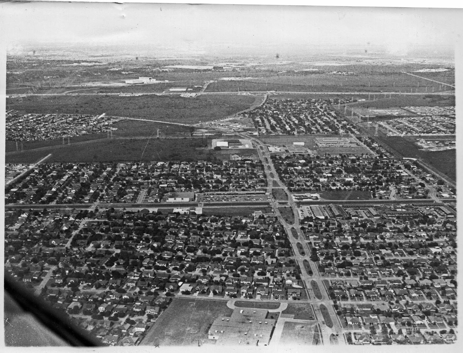
The large roof you see bottom center is Frazier Elementary, with Hughes running through the center of the photo vertically and Beamer cutting the horizonal center. I'd wager a large number of readers might be able to say, "I can see my house from up here!"
You can see the old Eagle shopping center at the very center of the photo.
If you follow the track of Hughes, you will see Sagemont Baptist on the left and Stuchberry and Thompson across on the right before Hughes makes it's curce in front of the Safeway shopping center and turns into Sabo at the South Belt intersection. The large green area at 11:00 would become the Beltway.
No comments:
Post a Comment